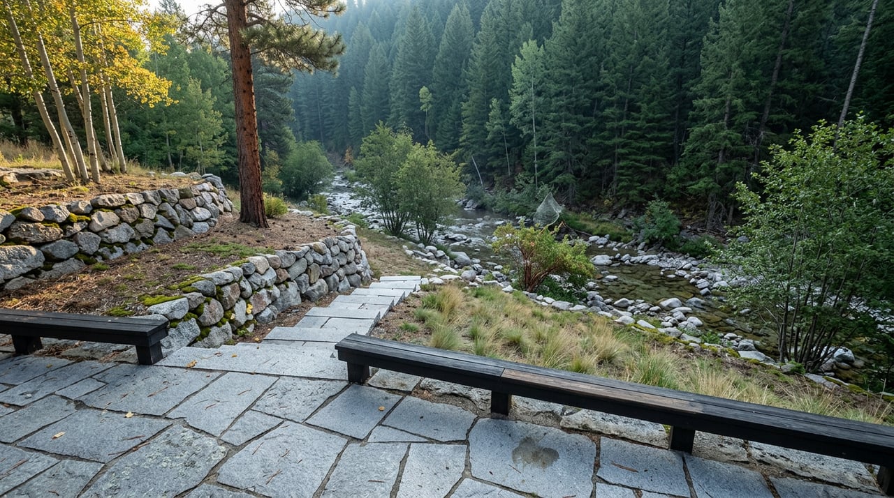
The meadow a few miles outside town, the one accessed by turning off Wellington Lake Road at the gate marked with a Bailey Fest sign, fills up every Labor Day weekend with tents, kayaks stacked on car roofs, and coolers dragged across the grass toward the river. This year it fills up the same way, on the same dates, September 4 through 7. What's different is what's underneath it. The North Fork of the South Platte, the river this whole weekend is built around, is running on a fraction of what it usually carries, and the same shortage that's thinning the water is tied to why a fisherman got knocked down and bitten by a bear along the North Fork corridor just 13 days before the gates open.
Those two facts don't belong in separate stories. They're the same story.
What Bailey Fest actually runs on
Bailey Fest is a Colorado Whitewater event, and it has never been just a campout with a river view. The festival exists because paddlers can run the Bailey stretch, a technical Class IV/V section, and the gentler Foxton run just downstream, Class III/IV. Historically, the weekend has been timed to coincide with a release from Denver Water's Dillon Reservoir through the Roberts Tunnel, the kind of coordinated flow bump that turns a marginal river into a runnable one for a couple of days. Camping happens on a private meadow along the river, roughly three miles from downtown Bailey off Wellington Lake Road, with the understanding that campers pack out what they bring in.
That mechanic, a reservoir release timed to a festival weekend, only works if there's water sitting behind the reservoir to release. This year, there isn't much.
The number that changes the plan
For the week ending August 24, 2026, the most recent basin tracking available, the South Platte River Basin was sitting at roughly 69 percent of its water-year median for precipitation. The basin has spent the summer classified anywhere from abnormally dry to exceptional drought, depending on the week and the sub-region. Statewide, Colorado's own climate office described the state in late August 2026 as the epicenter of the country's worst drought conditions, with nearly 14 percent of the state sitting in the most severe category the U.S. Drought Monitor tracks. At an August 25, 2026 water conditions meeting of the Colorado Water Conservation Board, the state's engagement climatologist put the water year among the driest on record, with a deficit that won't close with one good storm.
None of that is abstract if you're the one deciding whether to bring a creek boat or a cooler. A dry basin means less water sitting in Dillon Reservoir to spare for a festival release, and it means the baseline flow in the North Fork, the water that's there with or without a release, is lower than paddlers who've done this run in a wetter year will remember. The practical read for anyone heading down this weekend: check the actual gauge at Bailey before you load the truck, don't assume this year mirrors last year, and expect more exposed rock and a tighter line through the Bailey run than usual.
The bear at the confluence
On August 22, 2026, a fisherman in his 60s was walking up a trail toward the North Fork parking area, near where the North Fork meets the main stem of the South Platte in Jefferson County, when a female bear knocked him down and bit him. He wasn't carrying fish. Other anglers on the trail watched it happen and helped drive the bear off before getting him medical help. Colorado Parks and Wildlife tracked the bear with a dog team overnight and euthanized it the next morning, standard practice after an attack. State wildlife officials called this the sixth reported bear attack in Colorado this year, and they tied the pattern directly to the drought: chokecherries and acorns, the natural forage bears rely on heading into hibernation, are scarce this season, which pushes bears toward trails, campsites, and anywhere people and food overlap.
That confluence sits well downstream of the festival meadow, where the North Fork drops out of the canyon and joins the main stem in Jefferson County rather than in the stretch that runs through Bailey itself. But it's the same river, shaped by the same water year, and the reasoning CPW gave doesn't stop at a county line. A forage shortage severe enough to push a bear onto a trail full of anglers downstream is a reasonable signal for what's happening on the same river upstream, including the stretch where Bailey Fest campers will be walking, fishing, and paddling past all weekend. Worth building that into how you think about food storage at camp this year, not because Bailey is suddenly dangerous, but because this particular year has a documented, dated reason to be more careful than usual about where food sits at night and how close a cooler stays to a tent.
What's actually open this week
Away from the meadow and the festival waiver line, the rest of Bailey keeps its usual late-summer rhythm. Riverbend Taproom, Eatery & Market is the kind of spot that picks up the overflow when the campground runs out of firewood or someone just wants a table that isn't a folding chair. The Knotty Pine, Bailey's longtime cafe and gift shop, is still the easiest place downtown to get a slow breakfast before a float. Glen Isle Resort, the property on the National Register of Historic Places a few miles up the highway, keeps its own calendar of small local gatherings running through the season. Bailey Depot Feed sits at the gas station junction for Deer Creek, a useful landmark if you're trying to find the turn without cell service. None of these places change because of a festival or a drought year. They're just what's already there, doing what they always do, while a few thousand extra people pass through for four days.
What a dry year actually tells you about this weekend
The easy version of this story is that Bailey Fest happens every Labor Day and the North Fork always draws a crowd. That version is true but not useful. The useful version is that 2026 is a specific kind of year, one where a near-record dry water year is quietly reshaping two separate things people assume are constants: how much water shows up for the festival's signature paddling runs, and how bears behave along the same river corridor the festival sits on. Both of those facts trace back to the same basin-wide shortfall, tracked weekly, sitting well below the median all summer.
If you already live along the North Fork or you're planning to spend the weekend at the meadow, that connection is the thing worth knowing before Friday, not after. Check the Bailey gauge, not last year's memory of it. Store food the way you would in a heavier bear year, because this is one, even if it doesn't look like one from the highway.
Bailey's appeal has never been about any single weekend. It's a town that measures itself in river levels, festival dates, and the small businesses that keep running whether the water is high or low. Understanding how those pieces move together, and what a season like this one actually changes, is the kind of local read that only comes from paying attention year over year.
If you're already part of that rhythm, or thinking about what it would take to make Bailey home rather than a weekend stop, Explore Evergreen Colorado is where Yvette Putt shares the neighborhood-level detail that doesn't show up in a listing photo. Reach out for a consultation, or get your instant home valuation to see where your property stands in a market that moves with the seasons as much as the numbers.