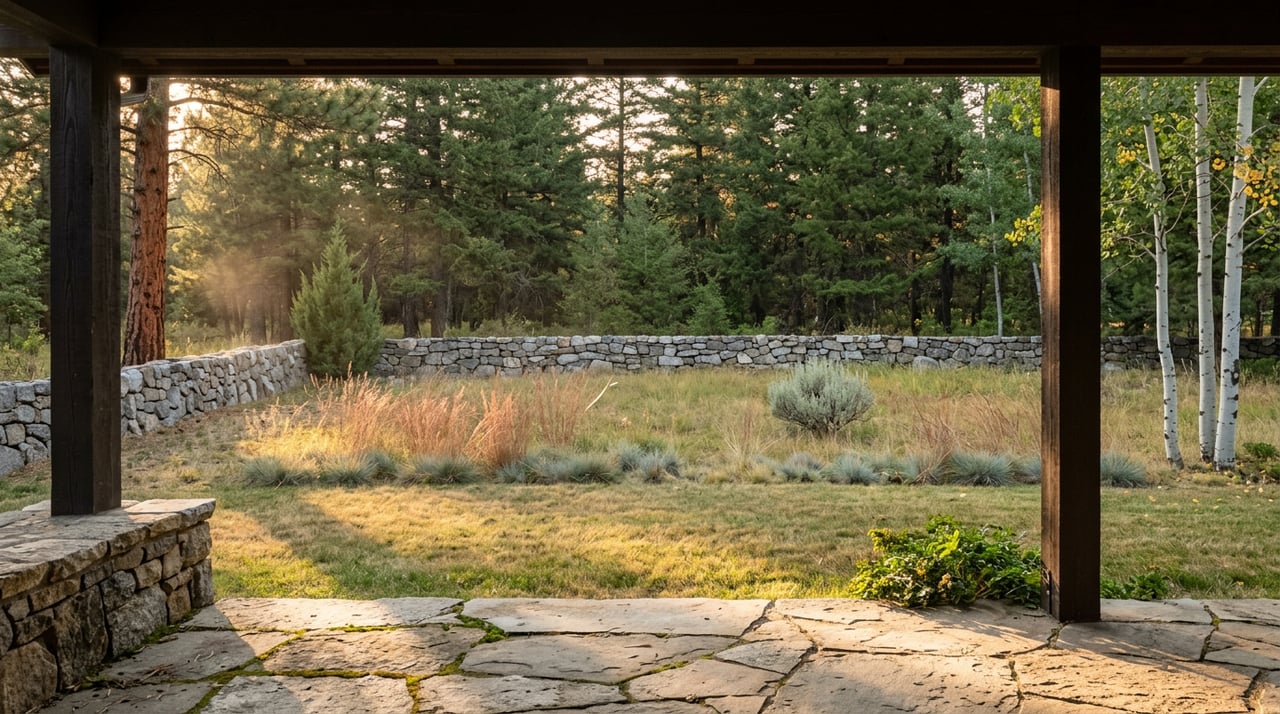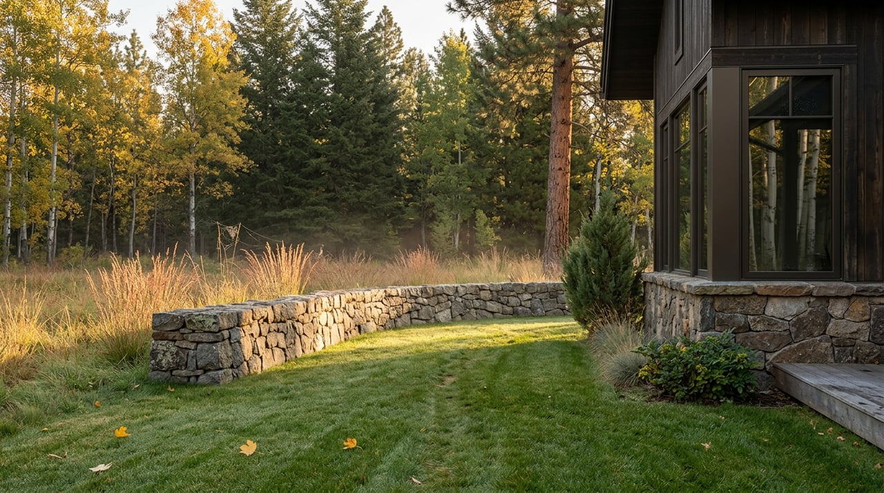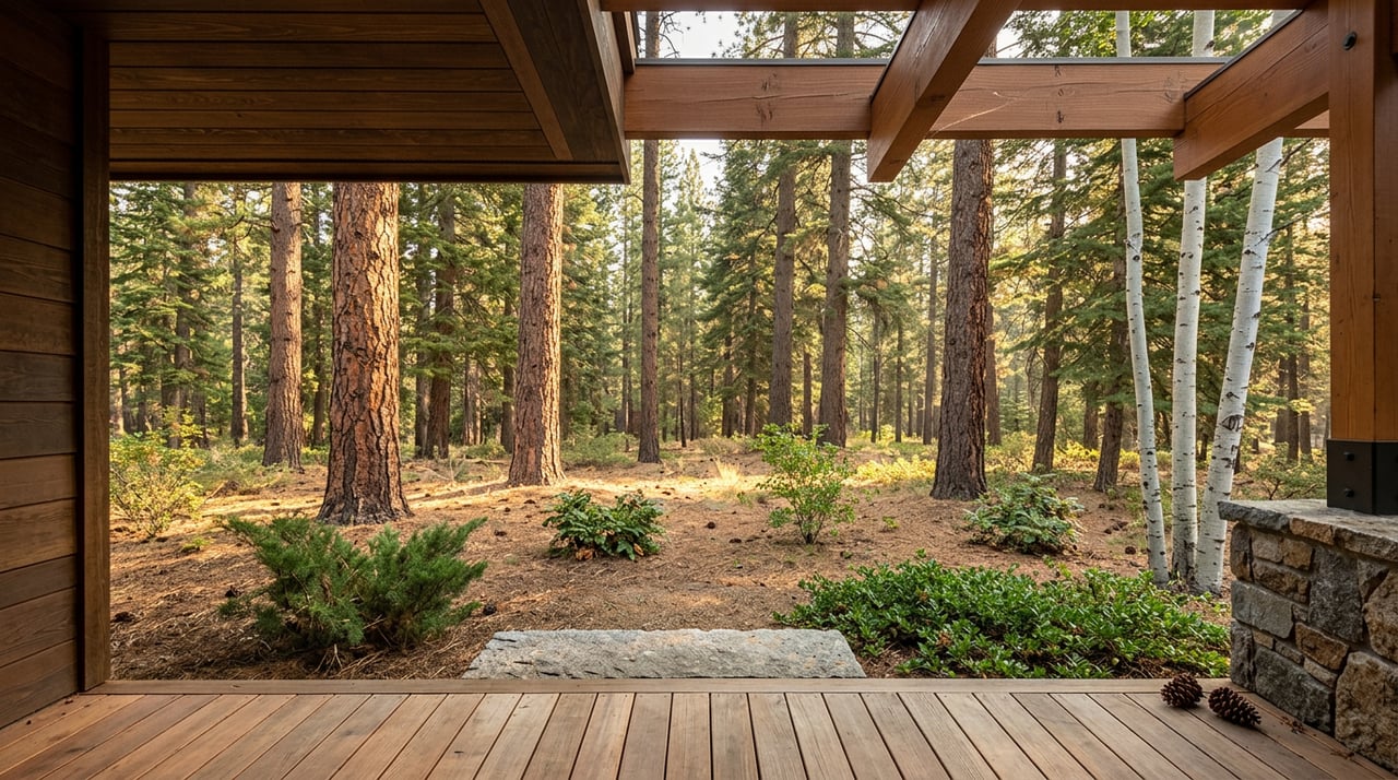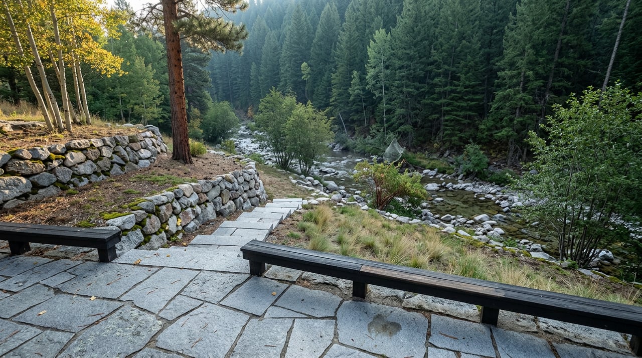
On June 15, 2026, the gate at the top of Upper Bear Creek Road opened for the season. Beartrack Lakes Trail, the wilderness route that climbs from the end of the road into the Mount Evans Wilderness, only exists as a legal hiking option for part of the year. It stays closed through winter and early spring, then opens each year after June 15th, once snowpack and wildlife closures clear.
Ten days later, on June 25, the creek that gives the road its name stopped behaving like a creek. An overnight storm dropped roughly six inches of rain over Evergreen in about two hours, and Bear Creek did what small mountain streams do when they get that much water at once: it left its banks, ran through downtown, and turned a quiet summer week into a cleanup effort that is still shaping how people move around this neighborhood.
Those two dates, ten days apart, are the reason this summer on Upper Bear Creek Road looks different from every other summer in recent memory. The trail is open. The road that gets you there is not quite the same road it was in May.
What "Above Evergreen Lake" Actually Means
Most flood coverage from that week focused on downtown Evergreen and Kittredge, where Cactus Jack's took on water and Bear Creek surged toward levels not seen since 2013. But the numbers that matter most for people who live along Upper Bear Creek Road come from a different stretch of the same creek.
Evergreen Fire Rescue reported that water levels above Evergreen Lake, the exact reach that runs alongside Upper Bear Creek Road on its way down from the wilderness, went from 12 cubic feet per second to 1,200 cfs during the storm. That is a hundredfold jump on the section of creek that borders driveways, footbridges, and the road itself before the water ever reaches the lake or the dam. Downstream in Morrison, the creek went from 6 cfs to nearly 1,890 cfs, which is the number that made headlines, but the jump above the lake happened first and closer to home.
The runoff also carried enough debris into Evergreen Lake itself that the water clogged with logs, branches, and sediment, the same lake the Evergreen Lake House sits beside at 29612 Upper Bear Creek Road.
The Coffee Stop and the Lake House in Between
Drive the lower half of Upper Bear Creek Road on an ordinary morning and you pass two buildings that have nothing to do with the flood and everything to do with how the road actually gets used. EverBean by the Lake, at 29003 Upper Bear Creek Road, functions less like a coffee shop and more like a meeting point. It shows up in the event logistics for local volunteer groups as the default rendezvous spot before people carpool further up the mountain.
A little further along, the Evergreen Lake House hosts weddings and community events overlooking the lake in summer and converts into the Skating Center once the ice comes in. It is run by the Evergreen Park & Recreation District, and its calendar is one of the more reliable indicators of what season the neighborhood is actually in, since boating, skating, and event bookings shift with the water and the weather.
Neither building was damaged in the flood. Both sit close enough to the creek that the debris clogging the lake this summer was, in a literal sense, floating past their windows.
The Bridges Nobody Budgets For
The detail from the June flood that matters most for anyone living off the upper stretches of Bear Creek is not the rainfall total. It is the bridges.
Evergreen Fire said the storm caused multiple mud and rockslides and left many private bridges damaged or washed out, the same kind of small crossings that a lot of homes along Bear Creek's upper reaches use to get from the road to their own driveways. The Jefferson County Sheriff's Office separately reported two private bridges washed out near Troublesome Gulch, downstream toward Kittredge, and county road crews spent days afterward clearing rockslide debris and assessing which crossings were still safe to use.
Public roads get inspected and repaired on a schedule other people manage. Private bridges over a creek that just moved a hundred times its normal volume of water do not come with that same guarantee, and they tend to be the last thing anyone checks until the day they need to cross one.
The Trail Is Technically Open. Here's What That Changes.
Beartrack Lakes Trail itself sits well upstream of the worst flood damage, and nothing in the reporting from June suggests the trailhead or the upper wilderness sustained the kind of hit that downtown Evergreen took. The trail is real, it is open for its short annual window, and it is worth the trip: a 10.9-mile out and back with about 2,539 feet of elevation gain, climbing through healthy forest and sections that burned in the 1998 Beartracks Fire before reaching a lake known for trout that feed heavily in spring and fall. Reviewers consistently note that the final mile of road to the trailhead calls for a high-clearance vehicle even in a normal year, and the route also crosses a state wildlife area, which means a valid hunting or fishing license, not just a hiking pass, is technically required to be there.
What changes this year is everything between your driveway and that trailhead. The ten-week window when this trail is legally accessible now overlaps with a summer when the road getting you there has fresh rockslide debris, freshly inspected bridges, and a creek that Evergreen Fire Rescue described as running at a volume higher than the historic 2013 flood at its peak. None of that closes the trail. It just means the drive up deserves the same attention this year that the hike usually gets.
The Volunteers Who Show Up Anyway
None of this has slowed down the Friends of Mount Evans and Lost Creek Wilderness, the volunteer group that spends its summer pulling invasive weeds and maintaining trails across the Mount Evans and Lost Creek Wilderness areas. Their 2026 event calendar has volunteers meeting at EverBean at 7:30 in the morning before carpooling out to trailheads like Captain Mountain, six and a half miles further west on Upper Bear Creek Road, to spend the day clearing Canada thistle and orange hawkweed from meadows most residents never see up close.
It is a small detail, but it says something true about this stretch of road: the people who know it best are the ones already out there in August, checking on it, working on it, and treating the wilderness at the end of the pavement as something that needs tending rather than just admiring.
That is really the shape of Upper Bear Creek Road this year. The trail calendar and the flood recovery calendar happen to be running at the same time, and the two things that make this road what it is, the wilderness access at one end and the creek that runs alongside all of it, are both asking for a little more attention than usual before Labor Day.
If you are already living along this road, you have probably felt some version of this all summer. If you are weighing whether a stretch of Colorado like this fits how you want to live, that is a longer conversation, and one worth having with someone who watches this exact corridor season by season. Yvette Putt has spent years tracking how Evergreen's foothill neighborhoods actually behave, not just how they list. Reach out to start that conversation, or get your instant home valuation to see where a property here stands today.